‘Historical Google Earth’ shows images of Britain that no longer exists
A collection of aerial photographs taken by former wartime RAF pilots – described as the “historical Google Earth” – has been made available to the public.
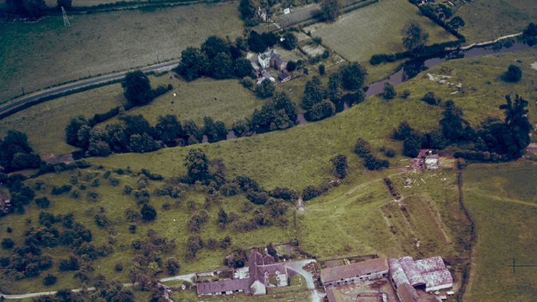
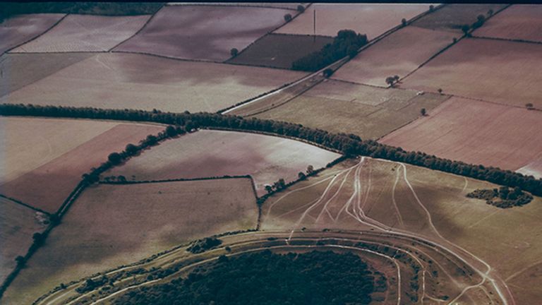
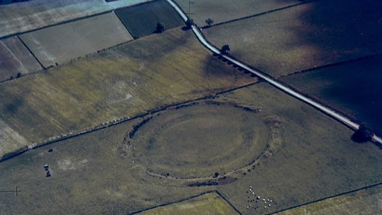
The images, dating back to 1945, were taken at the request of Cambridge archaeologist JK St Joseph and track how the UK’s urban landscape has changed.
The introduction and development of motorways, skyscrapers and modern cityscapes in post-war Britain can be charted in the photos.
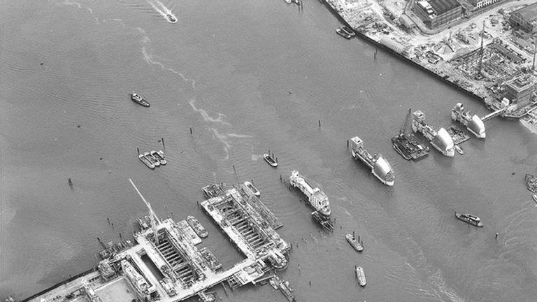
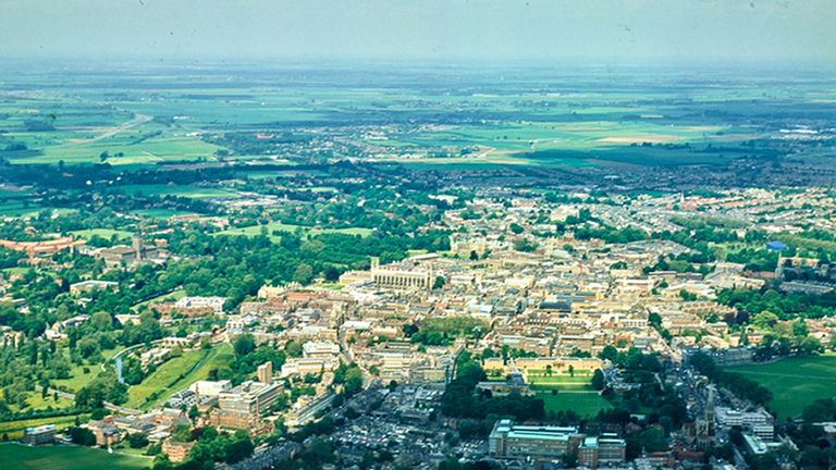
Ancient landscapes were also recorded in Cambridge’s Committee for Aerial Photography project. The most recent of these photographs were taken in 2009.
Cambridge archaeologist Professor Martin Millett, who has used the original photography in his own research, said: “Anyone can go to Google Earth and look at modern satellite imagery – but this is an historical Google Earth that lets you travel back through time to a Britain which no longer exists.
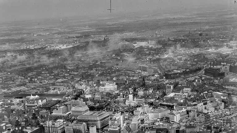

“In this first batch of photos, including some very early colour photography, we have cherry-picked some of the best and most beautiful images documenting the changing face of cities, towns and coastlines from all over the UK.
“Cambridge aerial photography was pioneering and unique. No one else in the world was doing this – it was genuinely world-leading.
“Now, as a historical resource for researchers and the public using the Digital Library, it’s a vital and fascinating window into the past.
“Once this material is out there and available, it stimulates people to do things we haven’t even thought about yet.”
The university initially borrowed RAF planes and pilots to take photographs, but in 1965 it bought its own Cessna Skymaster.
The first 1,500 photographs of the 500,000 in the archive went live on a website on Cambridge University’s Digital Library on Friday.
The unpublished images may be made public at a later date.

Oxford academic Dr Robert Bewley, an international authority on aerial archaeology, said the collection was “internationally important”.
He said: “St Joseph became a pioneer of air archaeology after his work analysing RAF reconnaissance photos during World War Two, and came to realise there was a huge opportunity to use similar photos in archaeology and geology.
“He chose former RAF bomber pilot Flight Lieutenant Derek Riley – who had been an archaeologist before the war – to take him on his first trip.
“In those days you could fly where you wanted with few restrictions and that’s exactly what they did.”
Source: Read Full Article