Home » World News »
Flooding continues in Midwest as more towns evacuated
At least 12 levees have been breached on the Missouri River in the last week as record flooding continue in the Plains and the Midwest.
Thousands of people have had to evacuate, including the entire towns of Craig, Nebraska, and Elwood, Kansas.
The Missouri River continues to rise north of Kansas City, where several towns are bracing for a near-record crest late Friday into Saturday morning. In addition, ice jams in Minnesota and Wisconsin are causing local rivers to suffer major flooding.
The National Oceanic and Atmospheric Administration (NOAA) came out with an updated spring flood outlook on Thursday, and said moderate to major flooding will continue into May for the central U.S. This potentially unprecedented level of flooding could impact more than 200 million people through spring.
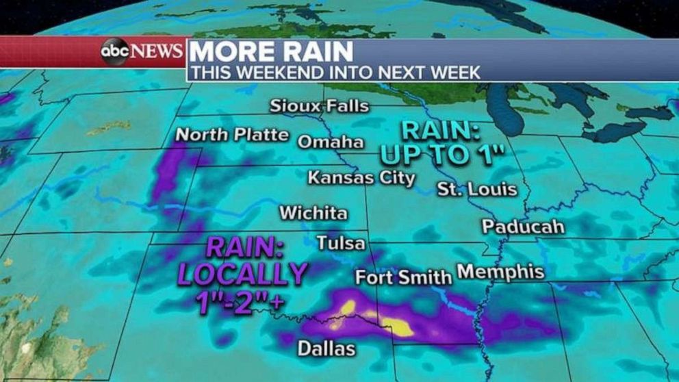
There is some rain in the forecast for the central U.S., but the models keep the heaviest precipitation south of the flooded zone. Locally, half an inch to 1 inch of rain is possible for the Missouri and Mississippi rivers in Nebraska, Iowa, Missouri and Kansas.
Nor’easter departs
The coastal storm brought more than 2 inches of rain to Washington’s Dulles Airport, enough to make it the wettest March day ever.
In western Virginia, some areas got up to 8 inches of heavy, wet snow, shutting down roads and stranding motorists.
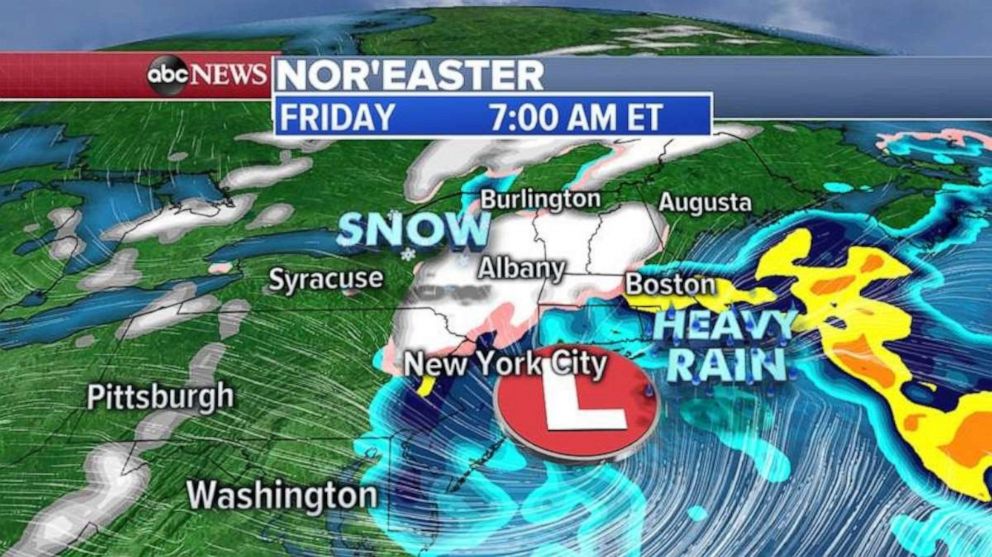
The heaviest rain has lifted into coastal New England on Friday morning with heavy snow falling in northern Pennsylvania, upstate New York, Vermont, New Hampshire and Maine.
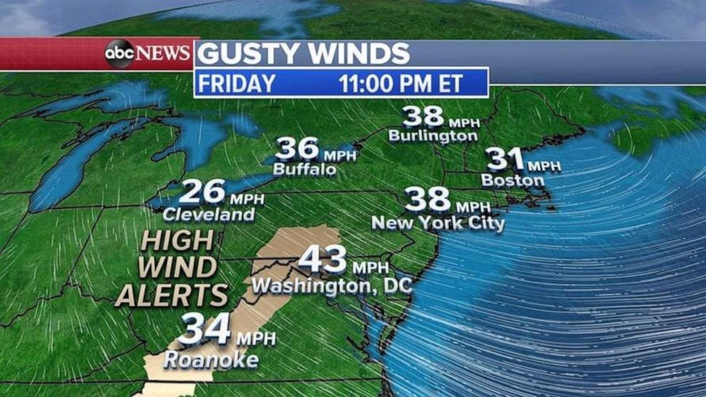
The storm lifts into Maine and southern Canada Friday night with strong winds behind it. Gusts could exceed 40 mph in some parts of the Northeast.
Additional snowfall forecast in the New England mountains could reach 6 to 12 inches.
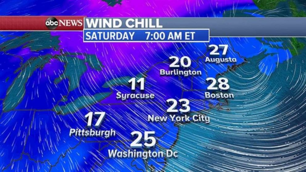
Behind the storm system, wind chills could reach the teens and 20s in the Northeast from Friday night into Saturday morning.
Saturday will not feel like spring in the Northeast.
Source: Read Full Article


